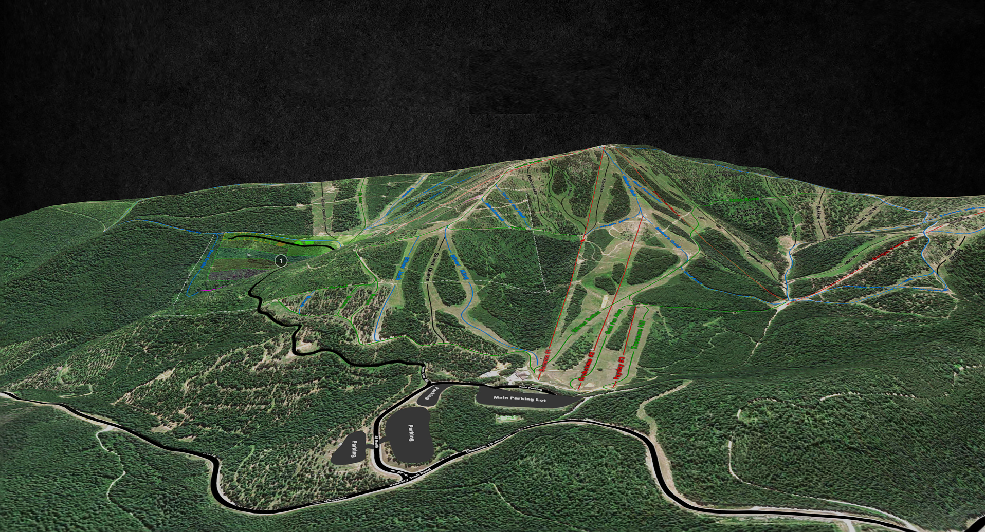
We use UAV’s (unmanned aerial vehicles) to scan in high detail projects or we obtain USGS data for larger projects that need less detail.
Hay Days 2016 Interactive Track Map


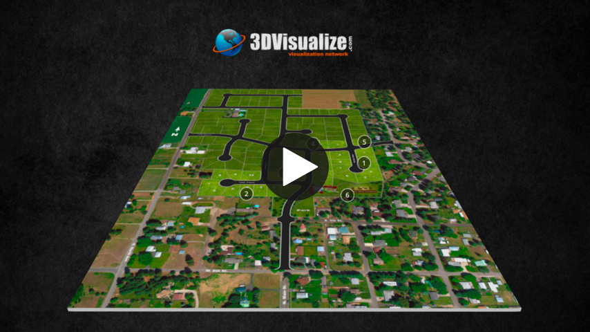
Deer Park Meadows Master Plan
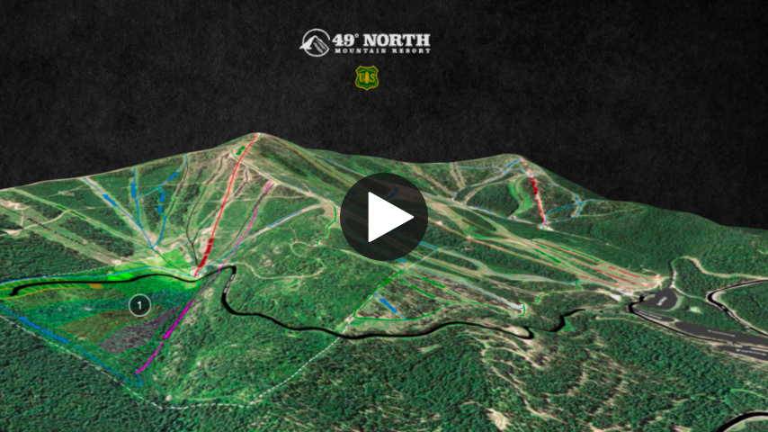
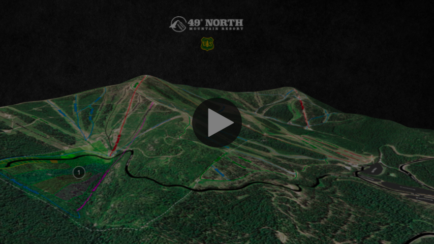
49 North Mountain Resort
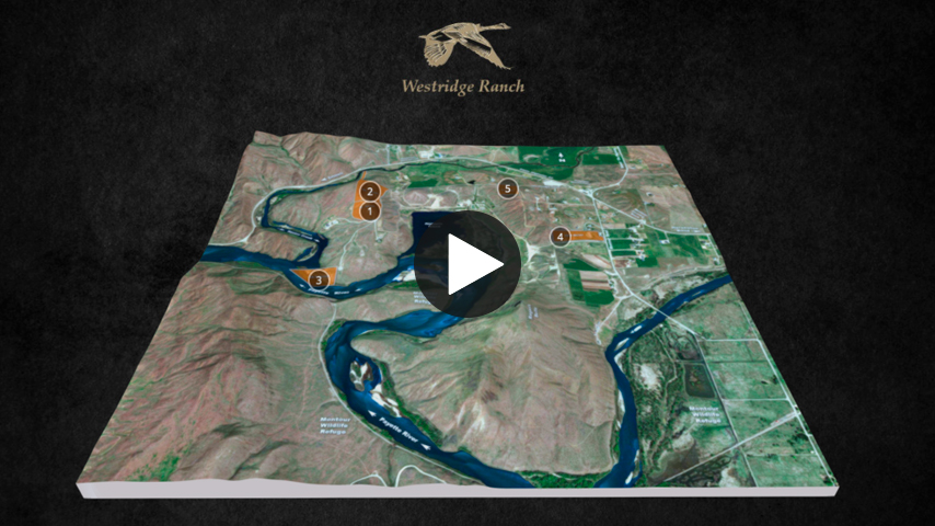
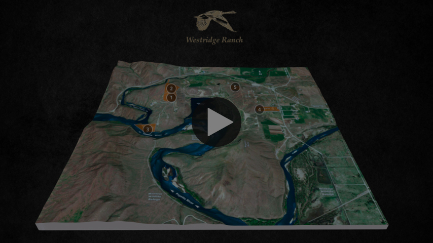
Westridge Ranch Current Properties Listed
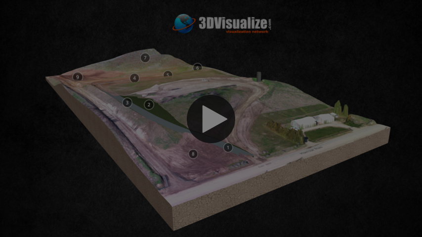
Excavation Project Proposed
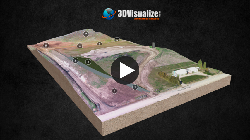
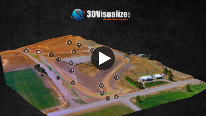
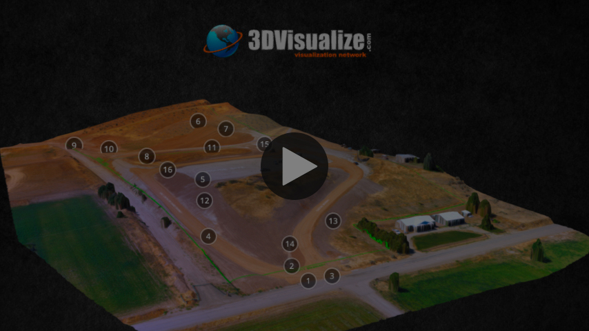
Excavation Project During Construction
Please contact us for a free consultation.